Riesling Trail
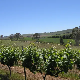
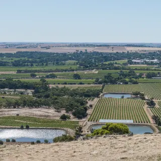
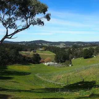
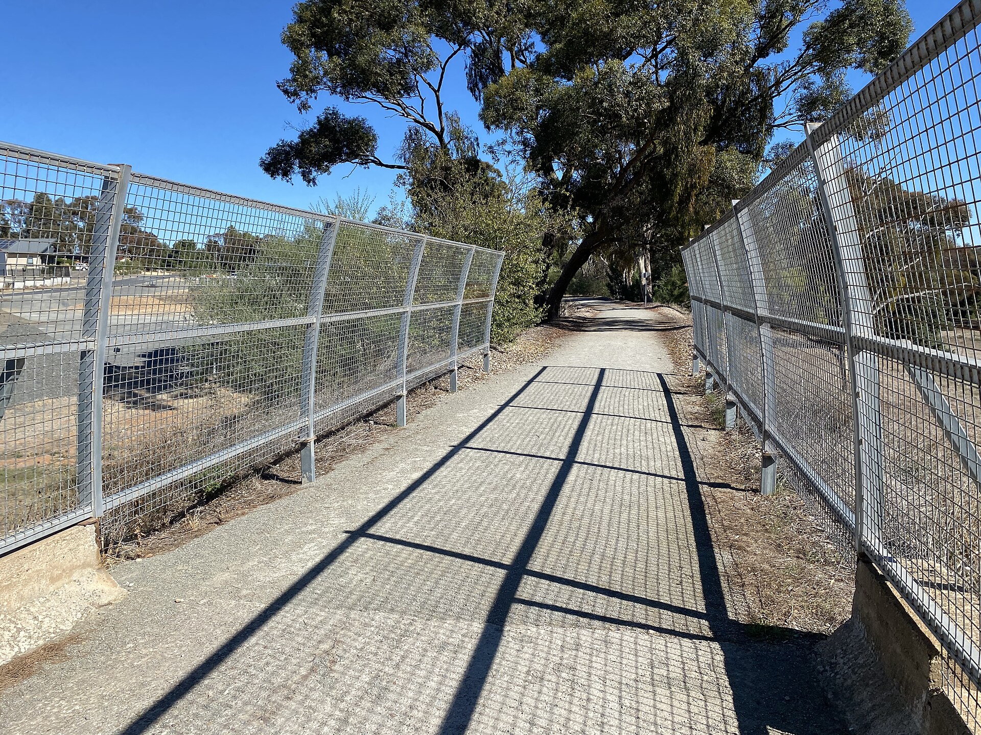
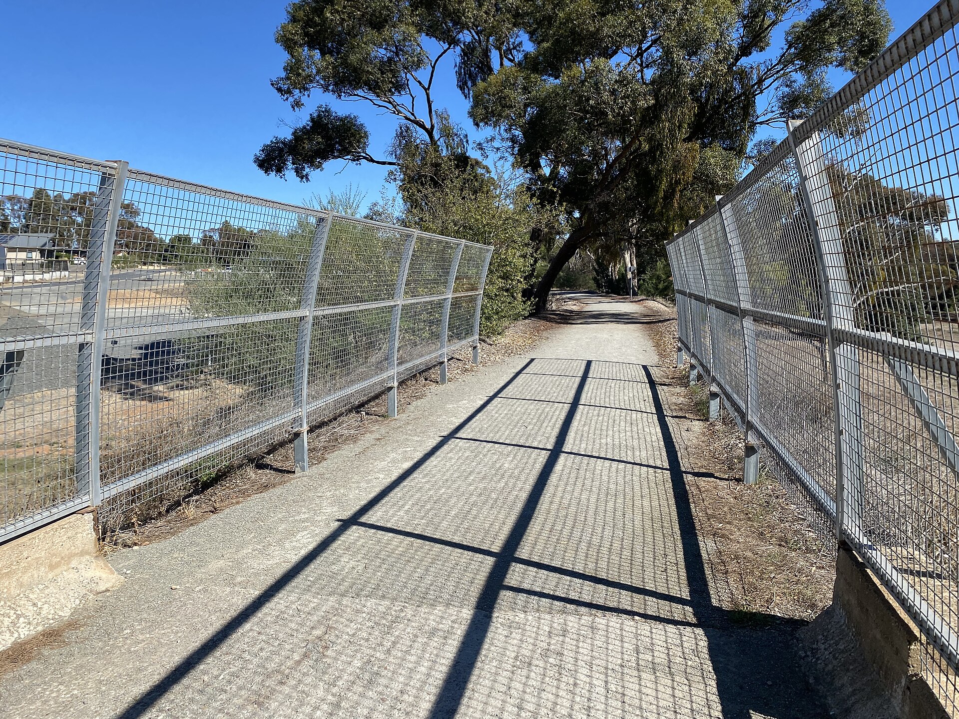
A 35 km walking and cycling trail along the old Clare-to-Auburn railway, linking towns, vineyards and cellar doors.
Find it on the map
Featured in
-
#1
9 Best Things to Do in the Clare Valley
Beyond the cellar door - trails, heritage towns, grand mansions and a hedge maze.
-
#1
The Best Walks in the Clare Valley
Rail trails, lookout climbs and conservation parks beyond the vines.
-
#4
The Best Free Things to Do in the Clare Valley
Lookouts, wetlands, heritage walks and more that won’t cost a cent.
-
#7
The Best Things to Do with Kids in the Clare Valley
Mazes, lakes, mines and wetlands to keep younger travellers happy.
-
#1
Best things to do in Clare Valley
Riesling, ridgetop lookouts and copper-mining heritage across South Australia's most characterful wine country.
Got a photo of Riesling Trail?
Share your best shot. If we use it in the gallery, you'll be credited by name. Photos are reviewed before going live.
Last verified 8 August 2026 · source: Riesling Trail Management Committee (official)
Within a short drive
Places within 5km of Riesling Trail
You might also like
Similar experiences across Clare Valley
Riesling Trail - frequently asked questions
How long is the Riesling Trail?
The Riesling Trail runs about 35 kilometres along a former railway line through the Clare Valley, between Auburn in the south and Barinia, just north of Clare.
Can you cycle the Riesling Trail?
Yes. The trail is a sealed, mostly flat shared path built for both walking and cycling, and bike hire is available in Clare and Auburn. Its gentle gradient makes it suitable for families and casual riders.
Is the Riesling Trail free to use?
Yes, the Riesling Trail is a free public path open year-round. You only pay if you hire a bike or stop at cellar doors and cafes along the way.
What can you see along the Riesling Trail?
The trail passes vineyards, cellar doors and the towns of Auburn, Leasingham, Watervale, Penwortham, Sevenhill and Clare, with many wineries located directly on or just off the path.
Sources
- Riesling Trail Management Committee (official) (accessed August 2026)
Image credits
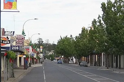
- Riesling Trail towards Auburn @ Farrell Flat Road, Clare 20220510-120648.jpg by RegionVisitor90 , CC0 via Wikimedia Commons