


Walking & Hiking
The Riesling Trail & beyond
The best walking & hiking in Clare Valley
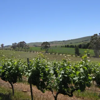
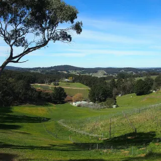
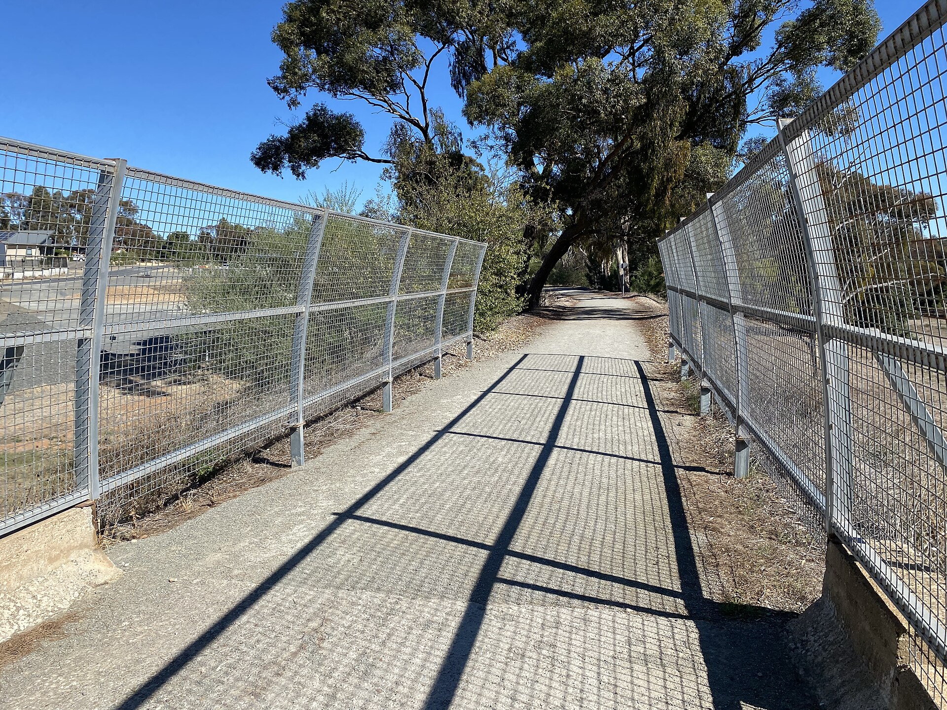
Walk or cycle the famous Riesling Trail along a former railway line, or wander conservation parks and bushland tracks that frame the valley. Gentle gradients, big-sky views and cellar doors within easy reach make the Clare Valley one of the most rewarding regions in the state for walkers and riders.
Read our guide to walking & hiking ↓Browse walking & hiking by area
Auburn Heritage Walk
View →A self-guided stroll through the National Trust-listed stone village of Auburn at the valley's south.
Billy Goat Hill Lookout
View →A short climb to sweeping views over Clare and the surrounding hills.
Burra Creek Gorge
View →A peaceful gorge and bush-camping spot south of Burra, popular with birdwatchers and stargazers.
Gleeson Wetlands
View →A restored wetland with boardwalks and birdlife in the heart of Clare.
Hampton Township Ruins
View →A vanished English village on the edge of Burra.
Laid out in 1857 and abandoned by 1960, the village of Hampton survives as evocative stone ruins on Burra's outskirts - a National Trust heritage area within the Heritage Passport.
Inchiquin Lake
View →A tranquil reservoir and picnic spot on the edge of Clare township.
Lavender Federation Trail (Northern End)
View →A 325-kilometre walking trail that finishes in Clare.
The Lavender Federation Trail runs 325 kilometres from Murray Bridge to its northern terminus at Clare, threading through Manoora, Mintaro and Watervale on its final stages.
Mount Bryan Summit
View →The roof of the Mount Lofty Ranges, on the Heysen Trail.
At 936 metres, Mount Bryan northeast of Burra is the highest point in the Mount Lofty Ranges, crossed by the Heysen Trail with vast views over the Mid North.
Neagles Rock Lookout
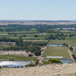
View →A short climb to a rocky outcrop above Clare with one of the best panoramas over the township and surrounding vineyards.
Rattler Trail
View →A 19 km rail trail from Auburn to Riverton continuing south from the Riesling Trail through farmland and bushland.
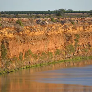
Red Banks Conservation Park
View →Ochre gorges and the bones of giants, east of Burra.
Fifteen kilometres east of Burra, Red Banks Conservation Park protects ochre cliffs, permanent waterholes and one of Australia's richest deposits of Ice Age megafauna fossils.
Riesling Trail
View →A 35 km walking and cycling trail along the old Clare-to-Auburn railway, linking towns, vineyards and cellar doors.
Riesling Trail Bike Hire
View →Two wheels for the valley's most famous trail.
Clare's long-running bike hire outfit kits riders out with everything from e-bikes to tandems, tagalongs and kiddie carriers for a day on the Riesling Trail.
Spring Gully Conservation Park
View →A pocket of red stringybark forest and waterfalls west of Clare, the only stand of its kind in the region - great for walks.
About walking & hiking in Clare Valley
Walking and cycling are among the best ways to experience the Clare Valley, and the region's flagship route is the Riesling Trail - a rail trail running the length of the valley past vineyards and cellar doors, perfect for walkers and cyclists alike. Its southern extension, the Rattler Trail, continues on to Auburn through quiet farmland.
For bushwalkers, Spring Gully Conservation Park protects the state's westernmost stand of red stringybark and bursts with wildflowers in spring, with shaded gully tracks and seasonal waterfalls. Closer to town, the short climb to Neagles Rock Lookout delivers the finest free panorama over Clare and its surrounding vineyards.
Autumn and spring are the prettiest and most comfortable seasons for walking here, when the vines colour and the days stay mild. Many trails connect directly to cellar doors and heritage sites, so you can easily build a day that mixes gentle exercise with tastings and history.
Walking & Hiking in Clare Valley - frequently asked questions
What is the Clare Valley best known for when it comes to walking and hiking?
The region's signature route is the Riesling Trail, a roughly 35km walking and cycling path that follows a former railway line between Auburn and Barinia, just north of Clare. Named after the valley's flagship white grape, it winds past vineyards and cellar doors at Leasingham, Watervale, Penwortham and Sevenhill, making it one of South Australia's most popular rail trails for walkers and riders alike.
How long is the Riesling Trail, and can you keep walking past it?
The Riesling Trail runs about 35km from Auburn north to Barinia, on the flat to gently undulating bed of the old Spalding railway line. At the southern end it links to the Rattler Trail, which continues roughly 19km from Auburn down to Riverton, so you can join the two for a longer point-to-point walk or ride through rolling farmland and vineyards.
Do I need to book to walk the Riesling Trail, and is it free?
No booking is needed and there is no entry fee - the Riesling Trail is a public, open-access path you can join at numerous points along its length. If you would rather cycle, several operators in Clare and Auburn hire out standard bikes and e-bikes, which are handy on the gentle gradients between cellar doors.
Is the Riesling Trail dog friendly and suitable for families?
Yes, the trail's flat former rail corridor suits families, casual cyclists and walkers of most abilities, and dogs are welcome provided they are kept on a lead. Watch for snakes in the warmer months and keep pets close, and remember you can choose a short out-and-back section rather than tackling the full distance.
Where can I find bushland and conservation-park walks beyond the Riesling Trail?
For native bushland, head to Spring Gully Conservation Park near Sevenhill, which protects South Australia's only stand of red stringybarks and offers walks such as the Cascades Walk to a seasonal waterfall, with good chances of spotting kangaroos and birdlife. Closer to town you can also take in lookouts and short trails like Neagles Rock Lookout, Billy Goat Hill Lookout, Inchiquin Lake and the Gleeson Wetlands, while autumn and spring are the most comfortable seasons for walking the valley.