Lavender Federation Trail (Northern End)
A 325-kilometre walking trail that finishes in Clare.
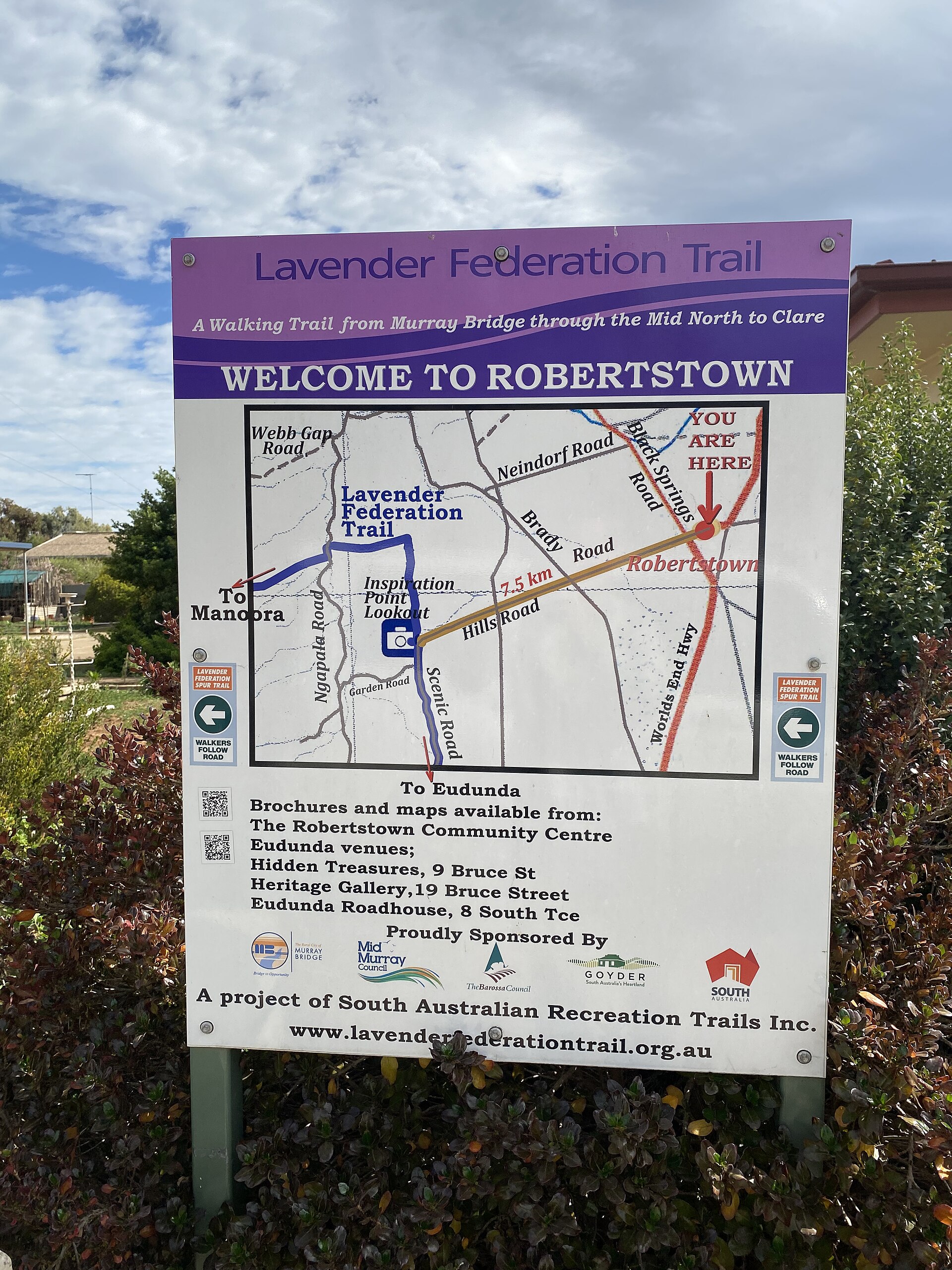
The Lavender Federation Trail runs 325 kilometres from Murray Bridge to its northern terminus at Clare, threading through Manoora, Mintaro and Watervale on its final stages.
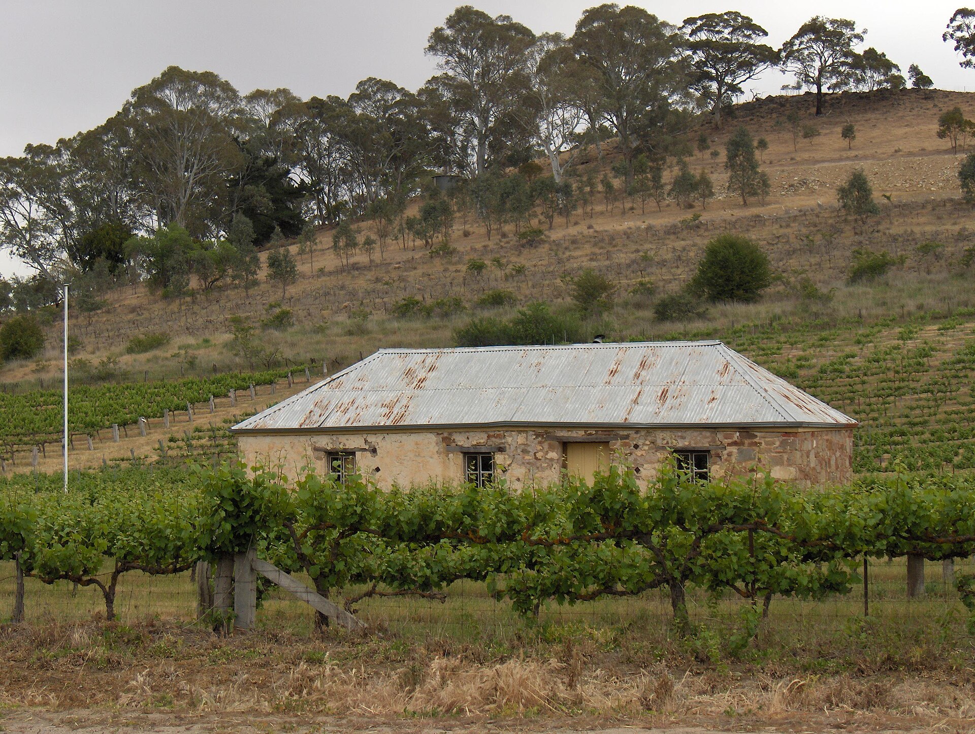
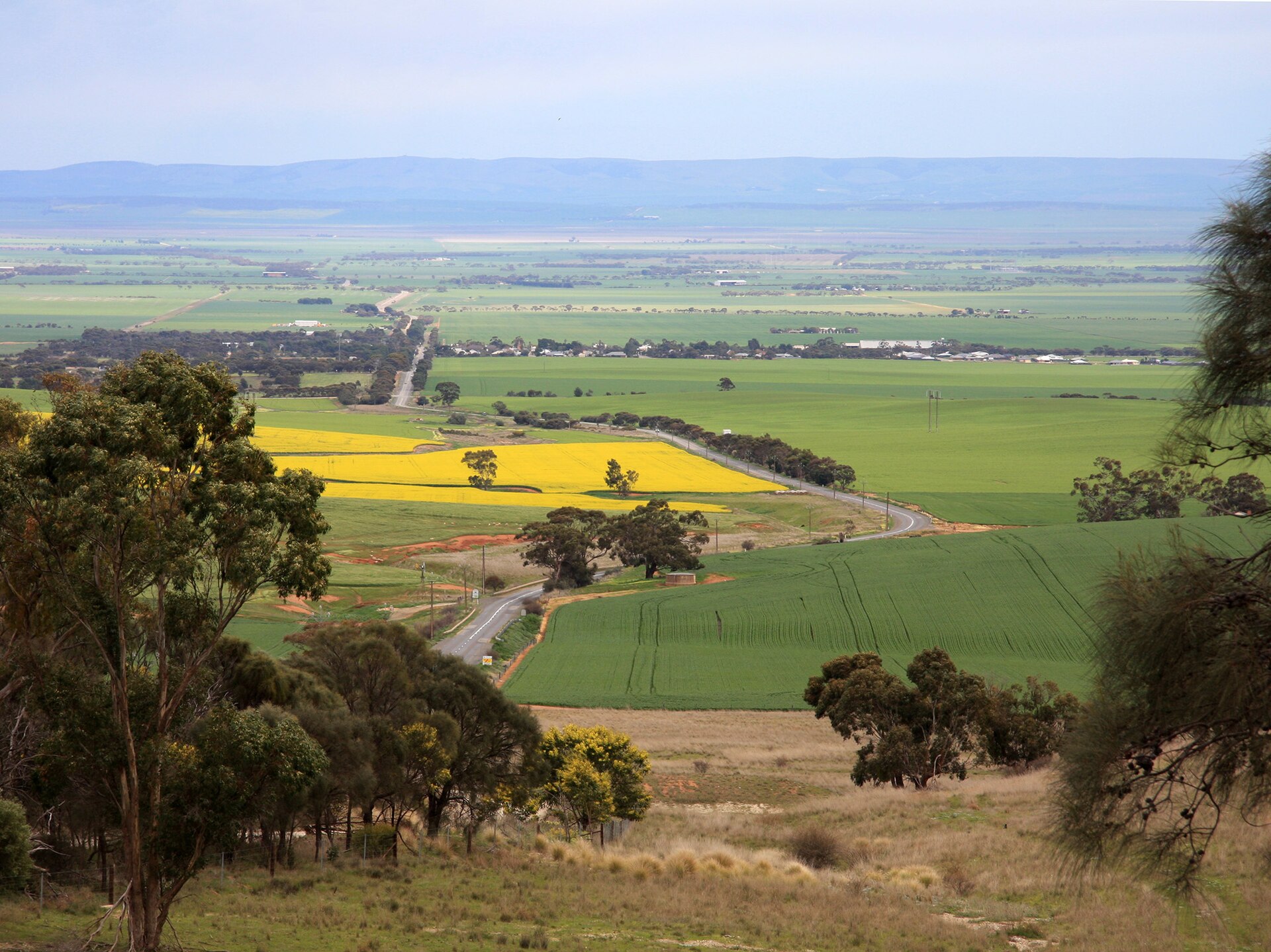
The Clare Valley is the finish line of one of South Australia's great long-distance walks. The Lavender Federation Trail begins at Murray Bridge and runs 325 kilometres up the eastern flanks of the Mount Lofty Ranges, reaching Clare through the townships of Manoora, Mintaro and Watervale. Named for trail-builder Terry Lavender, it was constructed entirely by volunteers from 1999 and officially completed to Clare in May 2018.
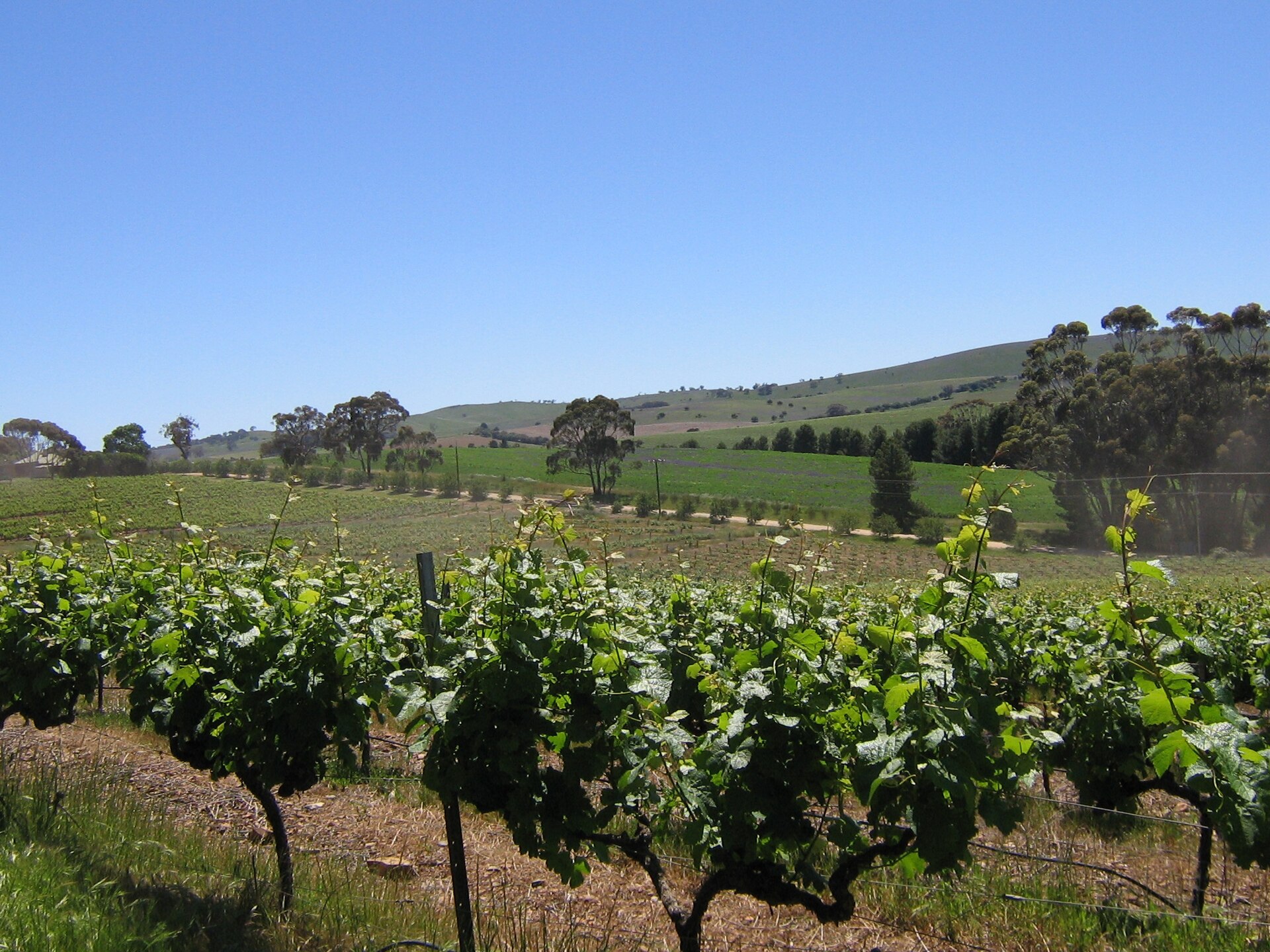
You do not need to walk all of it. The final sections make excellent day walks through working farmland and vineyard country, and the route passes close to the slate village of Mintaro and the riesling vineyards around Watervale, with connecting loop trails adding a further 96 kilometres of options.
In Clare the trail meets the Riesling Trail, so committed walkers can link two of the state's best-known trails in a single trip. Marker posts carry the trail's distinctive lavender-coloured arrows.
Got a photo of Lavender Federation Trail (Northern End)?
Share your best shot. If we use it in the gallery, you'll be credited by name. Photos are reviewed before going live.
Last verified 3 days ago
Within a short drive
Other spots in Clare
You might also like
Similar experiences across Clare Valley
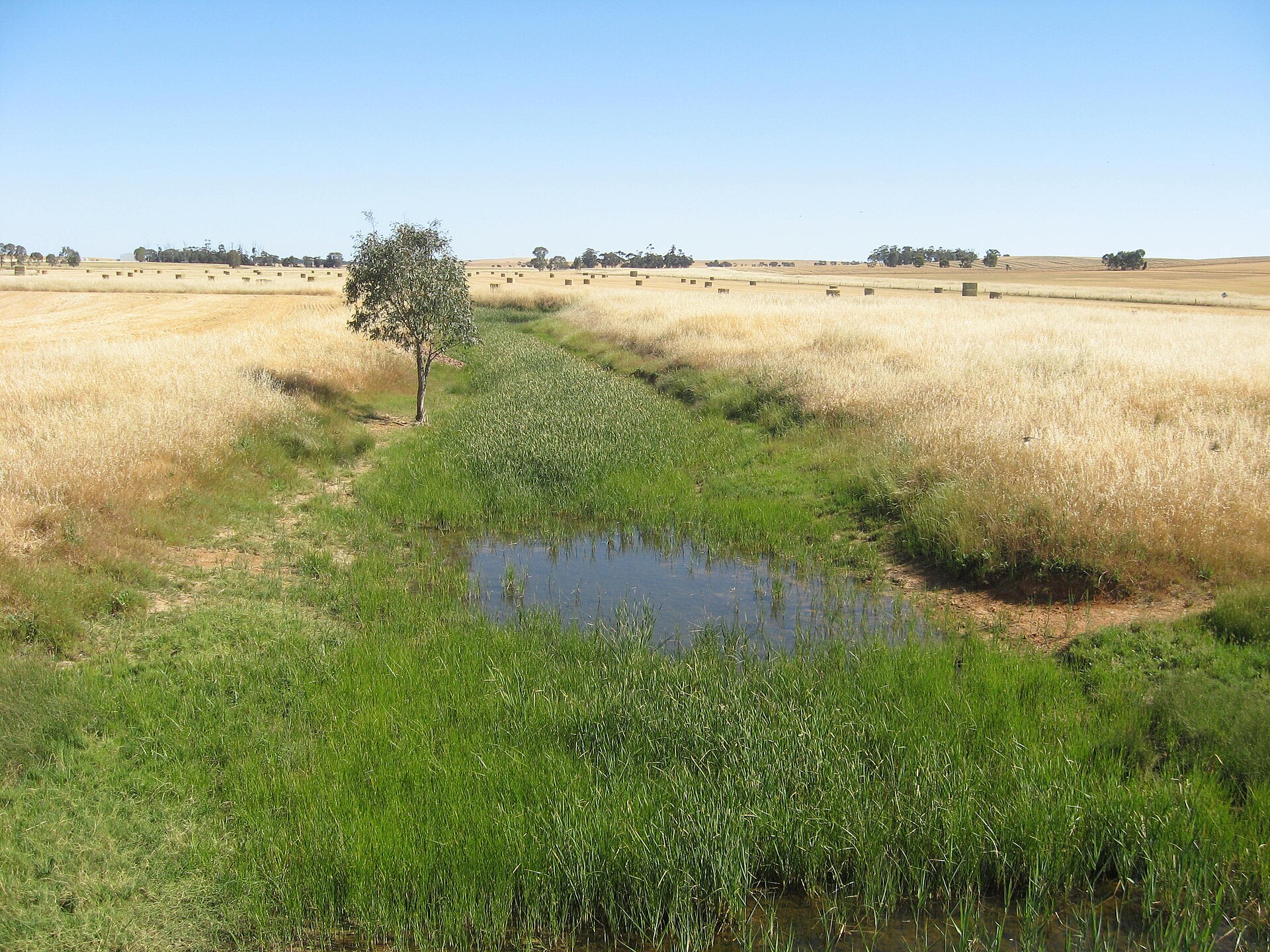
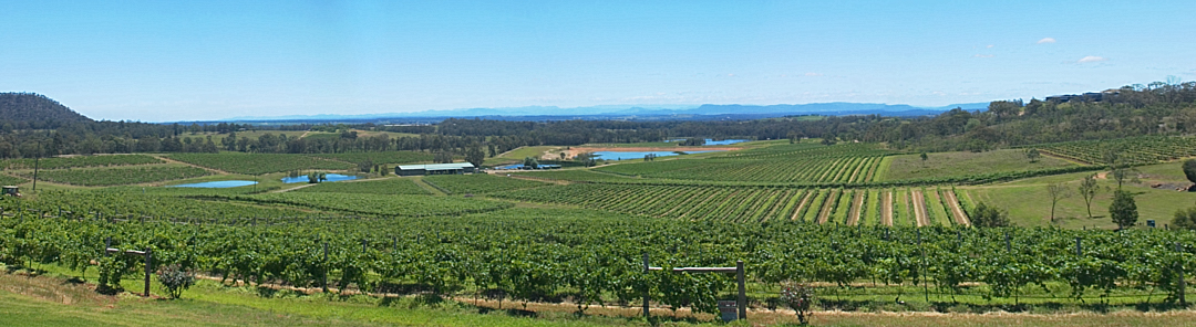
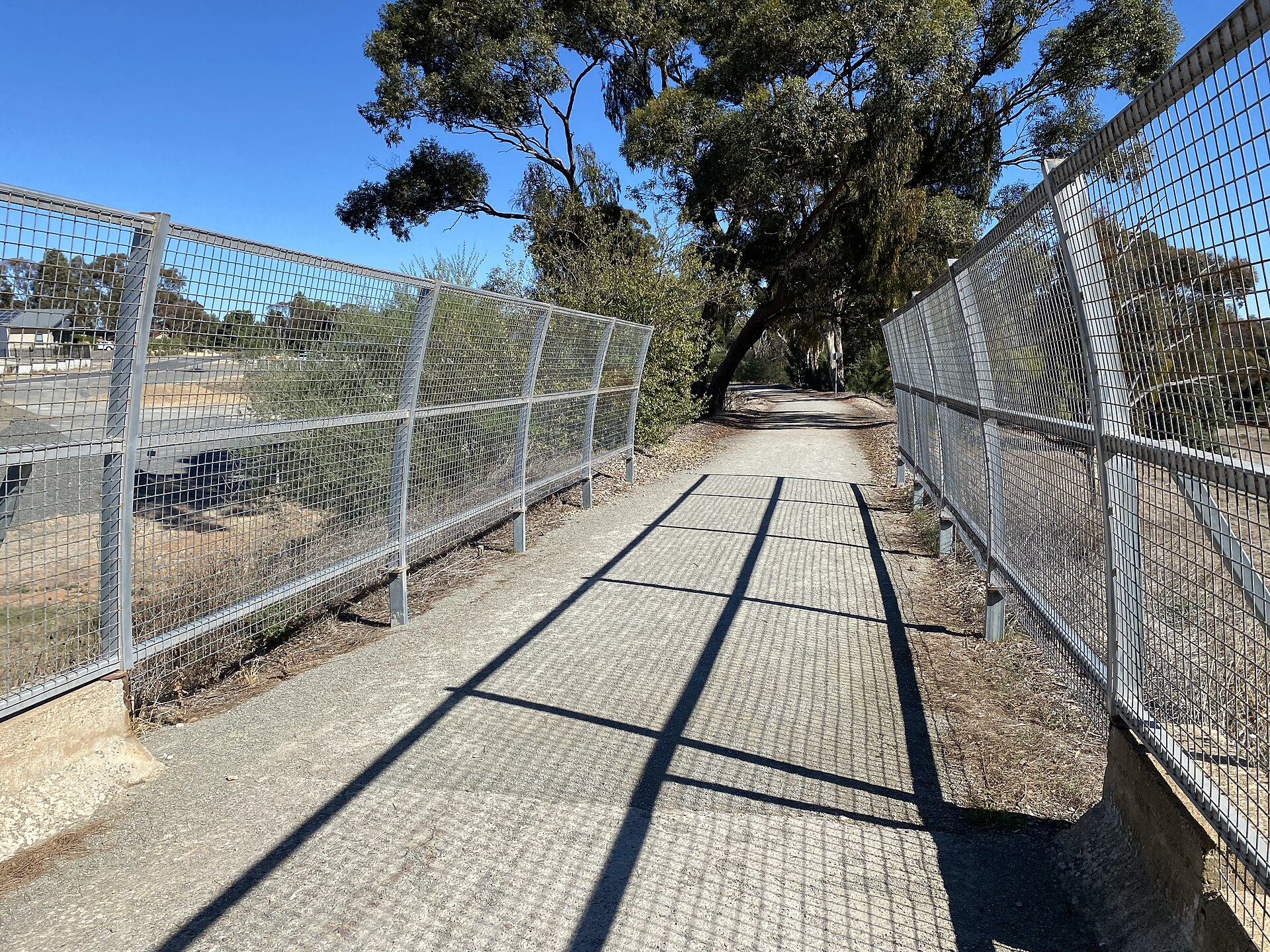
Image credits
- Lavender Federation Trail Signboard @ Robertstown 20240905-101543.jpg by RegionVisitor90 , CC0 via Wikimedia Commons