By Discover Clare Valley · · 5 min read
Everyone knows the Riesling Trail. Fewer know the valley is also the finish line of a 325-kilometre walking trail, home to a rare forest, and within reach of the Mount Lofty Ranges' highest point.
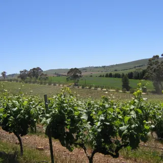
The Riesling Trail is the Clare Valley's headline walk - flat, famous and lined with cellar doors. But treat it as a gateway drug. The valley's walking gets wilder, higher and quieter the moment you step off the old railway line.
The long way here
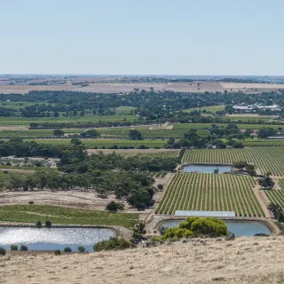
Start with a surprise: Clare is the finish line of the Lavender Federation Trail, a 325-kilometre route that begins at Murray Bridge and winds up the eastern flanks of the Mount Lofty Ranges, arriving via Manoora, Mintaro and Watervale. Built entirely by volunteers and completed to Clare in 2018, its final sections make excellent day walks through farm and vineyard country - follow the lavender-coloured arrows.
The rare forest
South-west of Clare, Spring Gully Conservation Park protects something genuinely scarce: South Australia's only stand of red stringybark. Spring brings wildflowers and a full creek; the lookout walks reward modest effort with long views over the gully. It is the valley's best short bushwalk by some margin.
The farm ramble
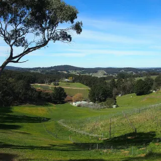
Closer to town, the Spring Farm Walking Trail loops through open country on Clare's edge - an easy leg-stretcher with big skies, kangaroos at dusk and no logistics to speak of.
The summit
And for walkers who want a proper hill: northeast of Burra, the Heysen Trail crosses Mount Bryan, at 936 metres the highest point in the entire Mount Lofty Ranges. The climb from the Hallett side passes the old one-room Mount Bryan East school, now a hikers' shelter, and tops out on a bare summit with enormous Mid North views. Take wind protection in every season; the mountain has opinions.
Plan your boots
A sensible long weekend: rail trail one day, Spring Gully the next morning, and Mount Bryan for the finale - with cellar doors as recovery stations throughout. The full menu of options lives in the best walks in the Clare Valley.